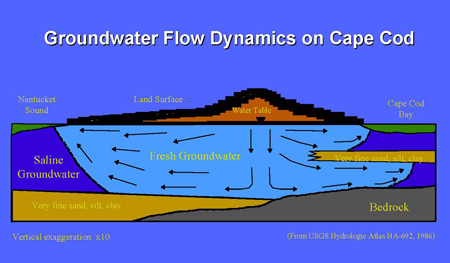
Cape Cod is a sand and gravel remnant of the last continental deglaciation that occurred from 15,000 to 20,000 years ago. As shown in Figure 1, the Cape is a series of broad, gently sloping outwash plains that are truncated by long, linear moraine deposits found along the present day Route 6 Mid -Cape Highway and Route 28 MacArthur Boulevard. The glacial deposits are approximately 150 to 900 feet thick, from Buzzards Bay to Provincetown and are generally coarse to medium sand but grade to finer materials at depth. The coarse sands are extremely permeable, making for a high-yielding groundwater system.

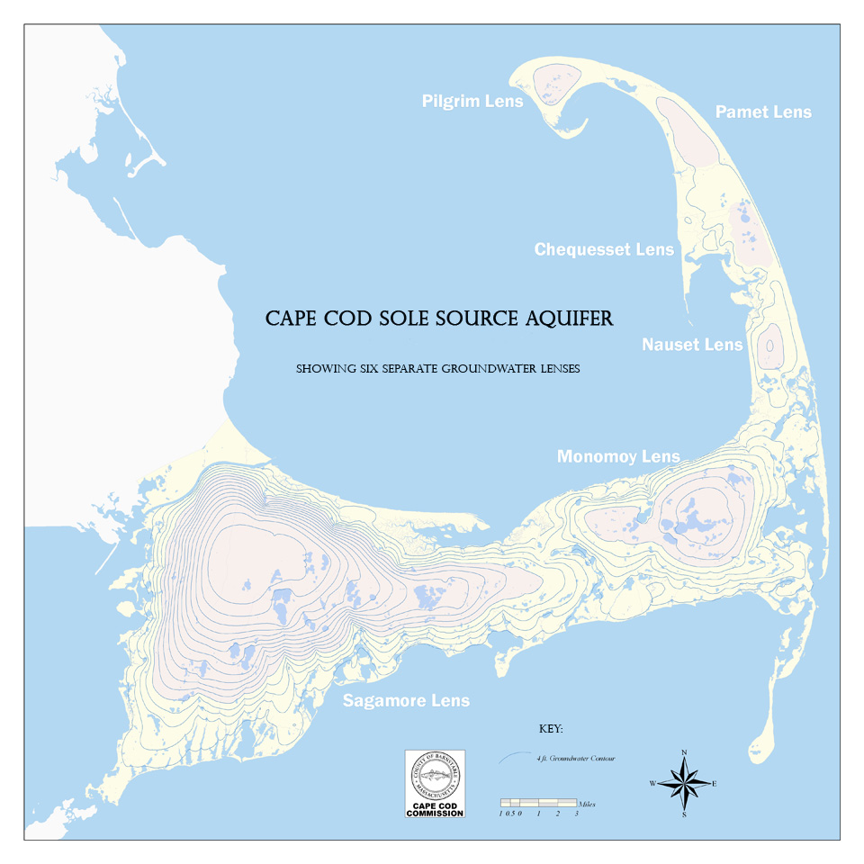
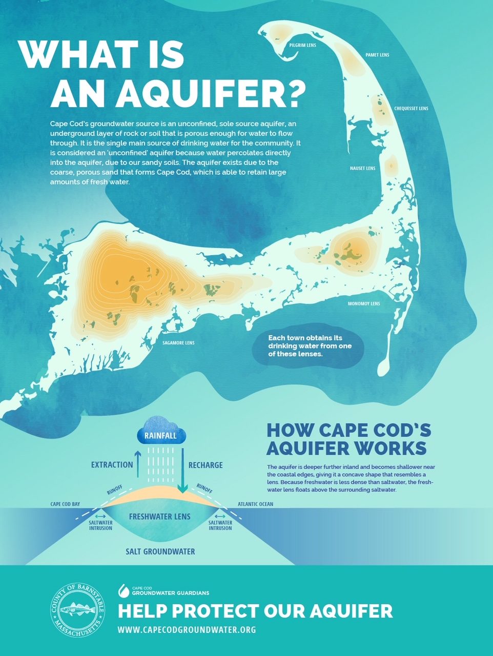
The mounds of groundwater are relatively thin and convex and therefore are referred to as lenses of groundwater. The Cape Cod aquifer system is comprised of six separate lenses, as shown in Figure 3.The topographic lines of the aquifer are referred to as water table contours, which are used by hydrogeologists to plot the exact flow of groundwater. Over the years, this effort has lead to the use of complex groundwater models to predict and answer many questions about how the aquifer responds to new stresses, such as pumping and the discharge of wastewater. The Cape Cod Aquifer is extremely susceptible to contamination from various land uses and activities. The aquifer has been seriously impacted from military activities, gas stations, landfills, and a host of other activities. These examples have lead to multiple strategies to protect the aquifer at all levels of government and have spawned a vigorous industry for the assessment and clean-up of contaminated groundwater. The groundwater of Cape Cod is fairly well protected – except for impacts due to the prevalence of residential septic systems.